Alaska-Yukon Road Trip: Lake Laberge & Advice from Raven

Lake Leberge-Yukon Territory
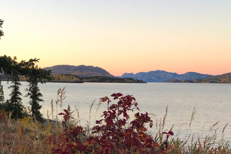
The Marge of Lake Laberge. Yukon Territory, Canada.

Tim Troll & I found many hidden beauties and many blind allies that required backtracking in our 10-day wandering road trip on a 2700-mile exploration of the Yukon Territory and Alaska (Spetember 24-October 10)

Lake Laberge is a mysterious lovely lake, the scene for Robert Service’s poem:

Rocky Plants - Autumn Leaves-Lake Laberge-Yukon Territory
Rocky Plants – Autumn Leaves-Lake Laberge-Yukon Territory


The Cremation of Sam McGee

The northern lights have seen queer sights,
But the queerest they ever did see,
Was that night on the marge of Lake Labarge
I cremated Sam McGee…


Typical conversation:
Bill: “Stop here for a photo!” (screeching tires). “Where do you want to go now?”
“How about down the fork to the left?”
“Where does it go?”
“No idea, but it looks like the road heads toward the river.”
“Yeah, that sounds good… is there food? Never mind, we’ve got what we need.”
Brother-in-law Tim is an excellent voyaging companion.

And then, of course, there’s the chance that a raven will help point to the right path.      (maybe?? or is it a trick?)

Transfixed by Wonder Light. Icy Strait, Alaska.

Icy Strait Sunset-Southeast Alaska

Transfixed by Wonder Light. Icy Strait, Alaska.

If I had been driving in a city, I might have abandoned my car to gaze at the light of gold in Icy Strait.

Fortunately, I simply walked to the stern of the Wilderness Explorer where I remained until my return to earth.

Far into the brilliance, a fishing boat slipped across between the black edges of the terrestrial world.

On an @UnCruise.

Southeast Alaska’s Gastineau Channel: Can you see the cruise ship?

Can you see a cruise ship, sandbar, navigational aid, and a research vessel?
Can you see a cruise ship, sandbar, navigational aid, and a research vessel? Juneau, Alaska

In the photo above, I stood on the left shoreline, the edge of the North American continent. The shore and mountains of Douglas Island form the right shoreline. Gray mountains at the far end are on Admiralty Island, 12-14 miles away.

Good eyesight? Can you see a cruise ship, sandbar, navigational aid, and a research vessel in in the saltwater of Gastineau Channel? Try it and then zoom in (if using phone). When boating, I constantly search the water ahead for other vessels, navigation markers, and hazards like logs or rocks. I scan the water for any shapes, spots, or projections from the water’s surface, starting closest to me, and gradually sliding my view look down channel until I reach the horizon.

Searching the water along the left shoreline, look for rocks, sand bars, and a navigational marker on pilings. In the channel, you’ll the small research vessel operated by NOAA (National Oceanic & Atmospheric Administration) heading away from us. You’ll also see a cruise ship coming toward us that must pass between the navigation aid and Douglas Island to avoid the sand bar the extends from the left shore.

Bonaparte's Gull & Fly fisher check each other out
Bonaparte’s Gull & Fly fisher check each other out. Fishing alone is communion. Click to go to Instagram.

Today’s reflections of a September sky, near Juneau, Alaska show an amazingly different view from my previous Instagram Post of a fly fisher in fog, taken 2 days ago a few miles down the left shoreline.